Aquifer Recharge vs Human Intervention
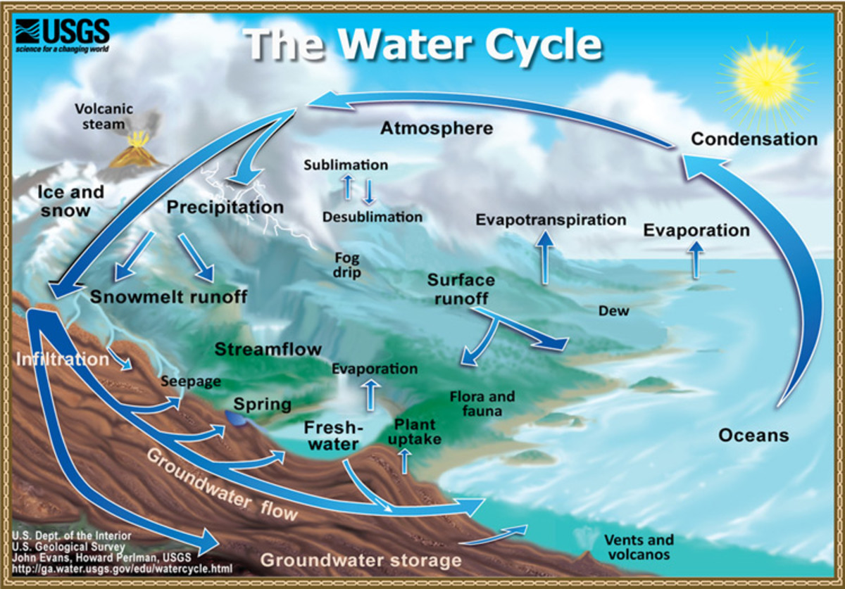
Rain is created and falls in a cycle, which humans have documented over time. We know how it forms and falls, is stored, and evaporates again to form clouds, then forms and falls again, is stored, and evaporates.
We know all of the conditions under which each stage occurs, yet for some reason that information is not being utilized in the building of our cities. With our building practices, we have seriously disturbed the rain cycle in numerous ways all over the world, not the least of which has been disabling earth's groundwater storage system.
Groundwater vs Surface Water
Rain is stored naturally in several ways: the ocean, clouds, snow and ice (glaciers), groundwater and surface water. When it rains water hits the ground, is absorbed by the earth, and filters down through rock fractures till it hits rock bottom, where it accumulates and slowly rises. This is groundwater.
Where rainfall is heavy or the ground hard rather than soft, rain runs across the earth's surface into low spots like rivers, lakes, and gullies, where it accumulates. This is surface water. There is a natural interplay between groundwater and surface water as the seasons progress.
Rivers, Streams, and Absorption
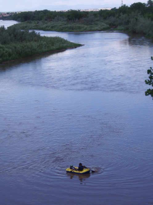
Rivers and streams that are straight - usually either young, flowing through rock, or man made - carry water swiftly out to the ocean. Crooked ones slow the flow, giving time for water to be absorbed into underground storage. The crooked ones are usually old rivers, which meander and have soft sides and bottoms, like the Mississippi. The ground next to slow-moving streams is usually wetter than that next to swiftly moving streams.
All rivers do not flow to the ocean. Some flow to inland lakes and some streams and gullies go nowhere. Water sits in the depression until it is absorbed by the earth, or the stream bed gets smaller and smaller until it eventually peters out, as its water is absorbed. Engineers call this "wasted water," thinking primarily of human use and control. Where does all this "wasted water" go?
Water Stored in the Aquifer
The earth is made up of solid and striated rock overlaid by crushed rock mixed with dead plant material, which is soil. Soil collects in giant basins, which also hold water when it rains - groundwater. This natural rock basin is called an aquifer. The height to which the water rises as the aquifer fills is called the water table.
As seasons pass and the surface lakes and streams send their water to the ocean, gravity pulls groundwater from the aquifer to refill them. Slowly the water table sinks, along with the lakes and streams, until it rains and they all fill up again.
Areas with high water tables are good farming areas, since water is so easily available. Some towns that have grown in areas like that have names that reflected the availability of groundwater when they were first established - like Palm Springs, Artesia, and Fountain Valley in Southern California.
Unfortunately, as these areas changed from farmland to towns to cities, the groundwater was both sucked out for everyday use and reabsorption blocked with buildings and roads, so the water table is now extremely low and can't be refilled by rain alone.
Flood Plains
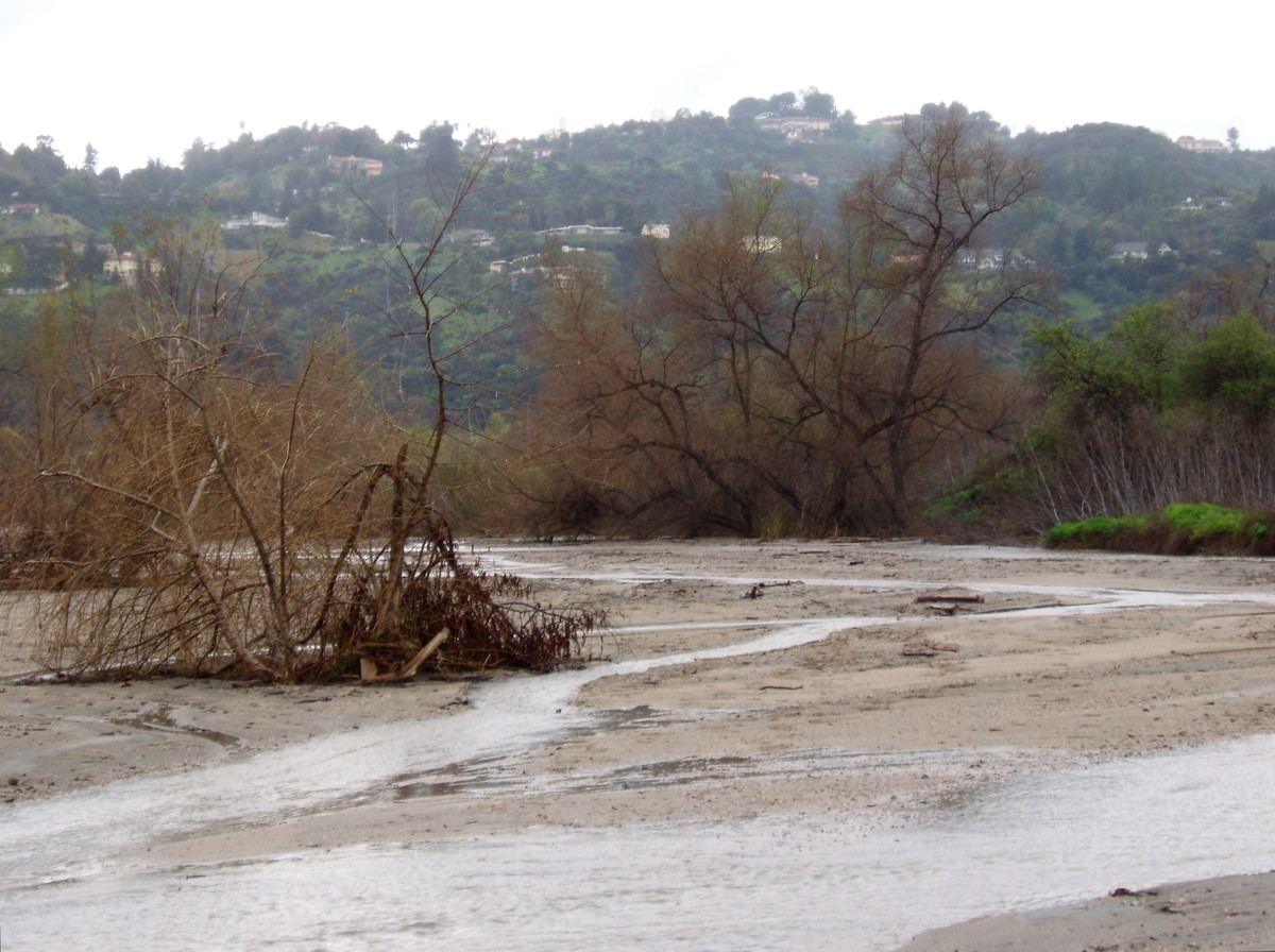
In a natural system that hasn't been tampered with, when the gullies fill up and rainwater overflows it spreads across flat lands to be slowly absorbed into the aquifer. Such is/was true of the Ganges in India, the Nile in Egypt, and the Los Angeles River in California. This event is called a flood and the area is called a floodplain which is, unfortunately, one of humanity's favorite locations to build.
Placing buildings, roads, and parking lots over a floodplain results in closing the ground off to absorption, which makes the flooding a problem, instead of a boon. In order to avoid destruction of the built-up areas, humans have constructed elaborate storm drain systems, giving the rain nowhere to go but straight out to the sea. With all that water lost, why is it surprising that we end up having severe droughts in so many of the world's built-up areas?
Blocking Absorption into the Earth
The level of water in an aquifer will always match the level of lakes and rivers, or "surface waters" nearby, due to the pull of gravity. As the water in lakes evaporates or is lost to rivers and streams, water stored underground flows slowly over to replace it. This is how surface waters stay full all year round . . . or used to.
In areas where the absorption of water is blocked (via concrete dams or parking lots), or groundwater is heavily used (via wells or pumps), the rivers don't flow year round anymore. When there is no groundwater, nearby lakes and streams cannot be replenished. Neither can vegetation get water easily, which means it has to be watered, which pulls more water from the aquifer, draining it even more.
Where we have straightened rivers and laid their bottoms with concrete, we have prevented water from sinking into the aquifer from that source too, so we end up with streams that are dry most of the year. This happened to the Los Angeles River, which is often barely more than a trickle. And we're fast running out of both surface and groundwater in Southern California. This is a major reason why the area "has to" transport water down from the north.
"The entire phenomenon can be described as a hydrological chain reaction; it starts by intensive extraction of fresh water upstream of the Dead Sea, continues with the eastward retreat of the lake shoreline, which in turn modifies the groundwater regime, finally triggering the formation of sinkholes."
- Sinkhole Swarms Along the Dead Sea . . . | Geological Society of America
Earth Without Ground Water
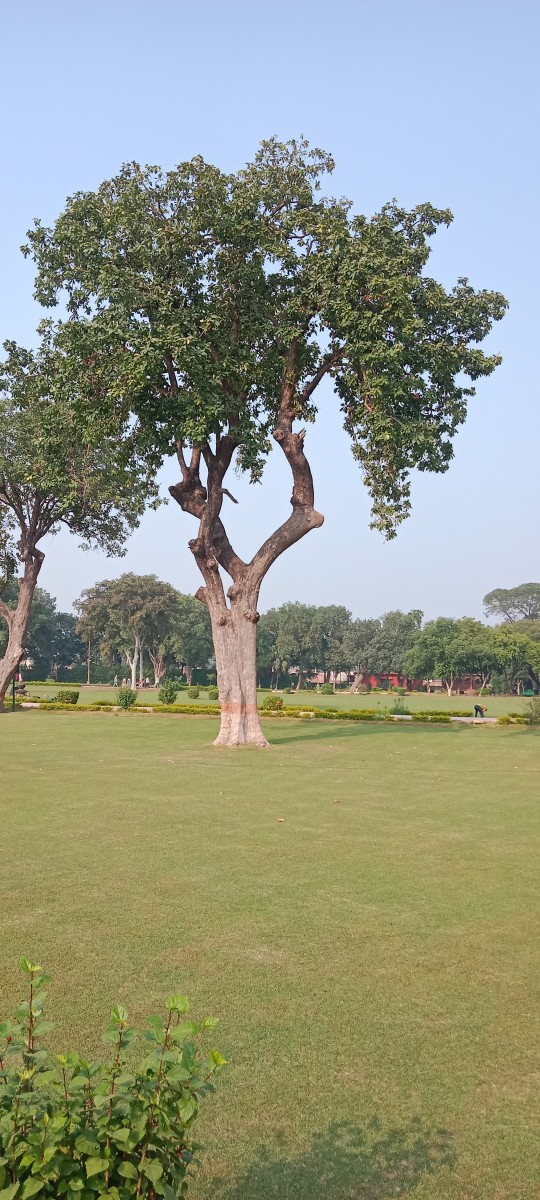
What would the earth be like without ground water? Rivers and streams would run for a few months after it rains, then become dry gullies. No one would have lawns, except where it rains or is misty year round, since there would be no aquifer to draw from. Since most trees have roots descending hundreds of feet into the ground, specifically for the purpose of drawing water from the aquifer, trees would cease to exist. Even now, around the Dead Sea in the Middle East, sinkholes are destroying settlements that have used up groundwater that used to feed the Jordan River and the Dead Sea (which itself is sinking).
How to Take Action
If this knowledge is making you itch to do something about it, you're not alone. Water suppliers, cities, and especially homeowners are becoming more and more aware of the long term consequences of draining their local aquifers and are starting to take action.
Orange County Water District in Southern California has built a water reclamation plant that has become a role model for Australian water suppliers. The plant cleans up water from the sewer systems and injects it into the ground in key spots near the coastline, which serves both to recharge the aquifer and to prevent salty water from absorbing into the once dry ground from the ocean.
Further south, a number of water suppliers, non profit groups, and the Army Corps of Engineers have banded together to preserve and enhance the Santa Ana Watershed, one of the few watersheds left in California that is still fairly undisturbed. (A watershed includes an entire area of potential absorption, from the mountains through the plains to the sea.)
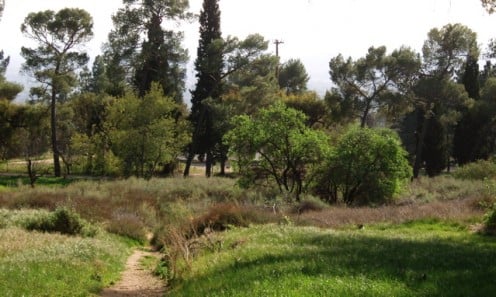
Locally, cities are redesigning parks and other open spaces to include gullies (swales), garden areas built especially to absorb rain (rain gardens), and big ponds that can store rain and allow it to filter into the earth (catchment basins). Many cities are carrying out extensive tree planting projects, since trees slow the rain down and provide pathways with their roots for rain to be absorbed into the soil. Some cities have passed resolutions requiring developers to use permeable asphalt for parking lots, others are breaking up concrete city plazas and replacing them with permeable pavers. And some cities are actually converting storm drains into meandering, gravel-bottomed streams through the city with walk and bike paths alongside.
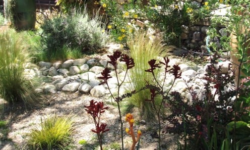
Homeowners like you or someone you know are redoing landscapes to include native plants, installing grey water systems and/or rain collection systems to reduce the need for irrigation water, and using gravel or pavers to build driveways and patios, instead of impervious concrete. Others and residents without yards are joining non-profit groups that promote the actions above.
The first step, if you haven't thought about any of this before, is to gather more information. Check the links below, look at some of the projects discussed above, read other hubs on the subject, then look at your own resources and see what you can do.
Be sure to include the place you work. How can you (or they) open up the ground or make it more absorbable? Share what you do with others, so they can help too. And never think of yourself as too small. Every little bit helps and one action can always lead to bigger actions.
- What is Groundwater?
Groundwater is part of the hydrologic cycle, originating when some of the rain that falls on the Earth's surface sinks down through the soil. - Mariani Landscape
Good description of rain gardens and bioswales. - SAWPA
SAWPA is a group of utilities, cities, nonprofits, and the Army Corps of Engineers working together to protect and enhance the Santa Ana Watershed. You can see some of their projects here.


